Basic Geography
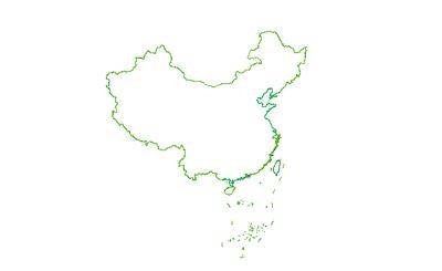
![Vector Data of China Map]()
Vector Data of China Map
This dataset contains vector data of the China map, including the South China Sea and the Nine-Dash Line. The geographical scop...2025-09-24 08:37:00 UTCNational Base Map at a scale of 1:12,000,000 in the China Geodetic Coordinate System 2000
The China Geodetic Coordinate System 2000 (CGCS2000) was established based on the ITRF97 coordinates and velocities from the 20...2025-09-24 08:37:00 UTC![Dataset of Township Administrative Divisions in the Three Northeastern Provinces]()
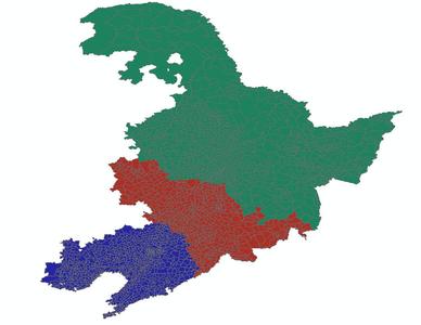
Dataset of Township Administrative Divisions in the Three Northeastern Provinces
The content of this dataset consists of vector data on the township administrative divisions of the Three Northeastern Province...2025-09-24 08:37:00 UTC