Basic Geography
![Historical County Boundaries Map Dataset of Oklahoma]()
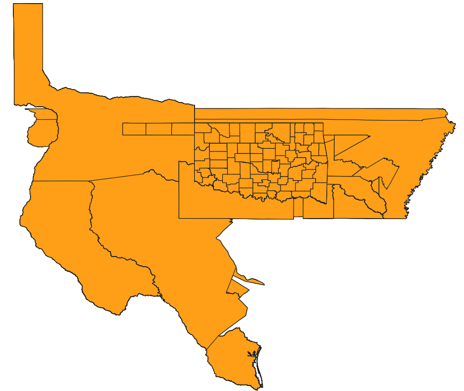
Historical County Boundaries Map Dataset of Oklahoma
The dataset comprises historical county boundary map data of Oklahoma, serving as a resource for individuals and researchers se...2025-10-29 06:04:17 UTC![Hawaiian Historical County Boundary Map Dataset]()
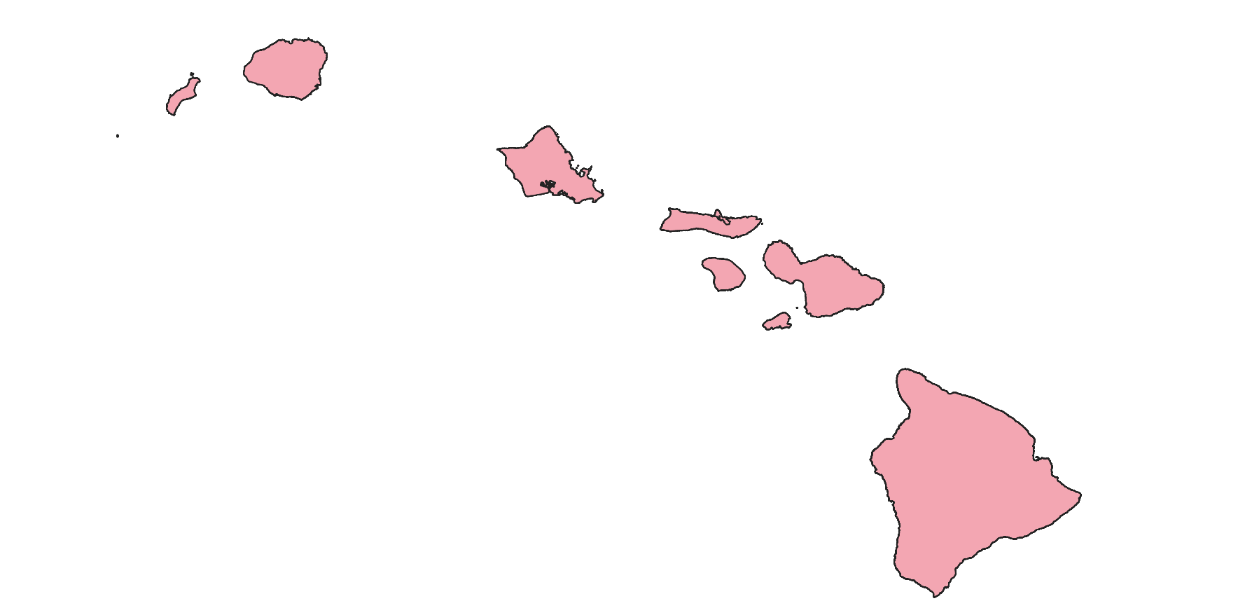
Hawaiian Historical County Boundary Map Dataset
The dataset comprises historical county boundary maps of Hawaii and serves as a resource for individuals seeking records of pas...2025-10-28 05:45:32 UTC![Arizona Historical County Boundary Map Dataset]()
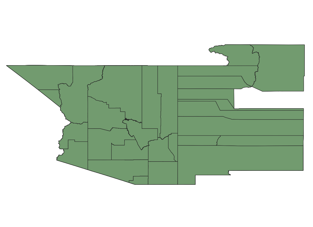
Arizona Historical County Boundary Map Dataset
The dataset comprises historical county boundary map data for Arizona, serving as a valuable resource for individuals seeking r...2025-10-28 02:56:37 UTC![Dataset of Historical County Boundary Maps in California]()
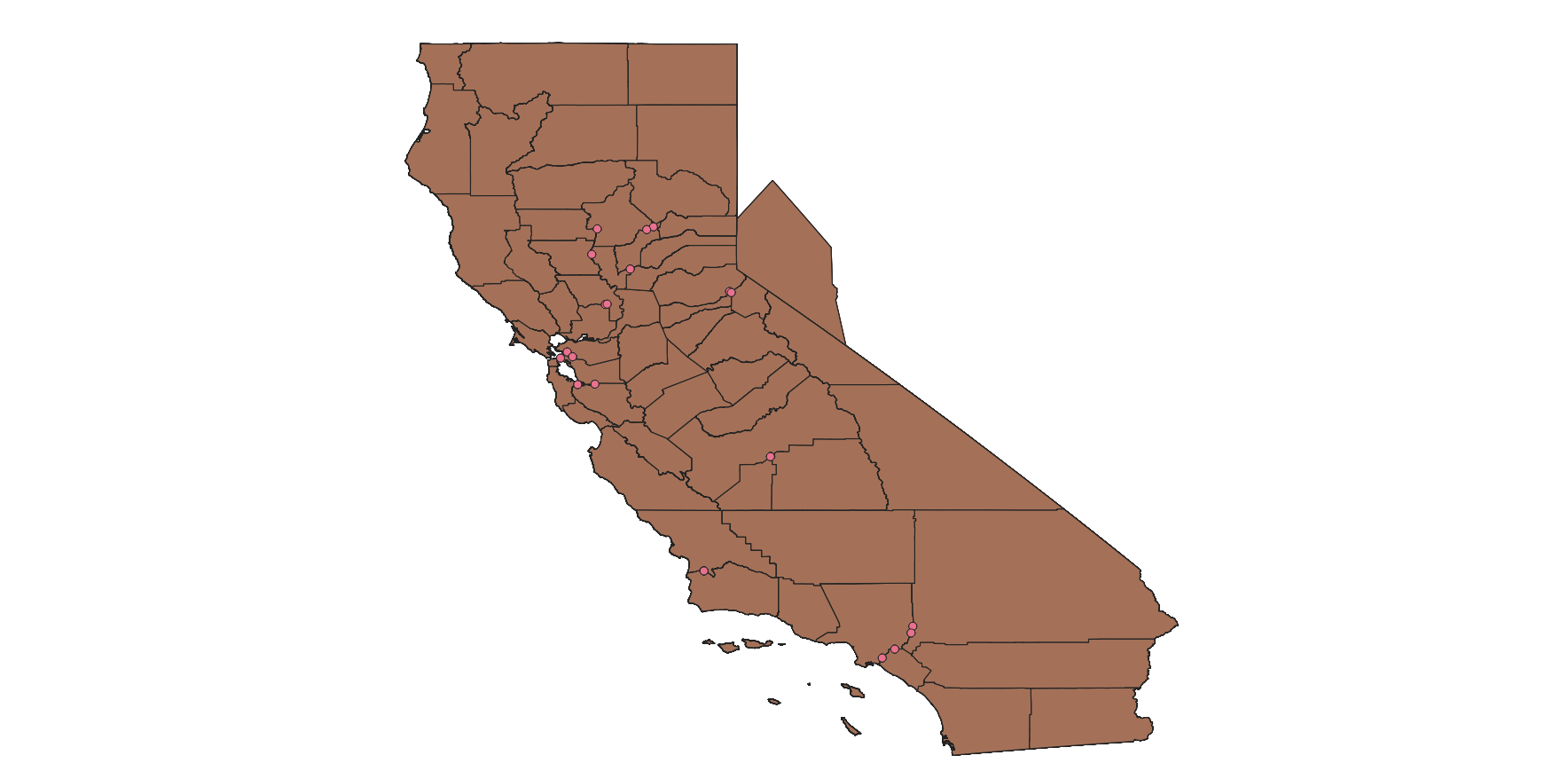
Dataset of Historical County Boundary Maps in California
The dataset comprises historical county boundary map data of California. It serves as a valuable resource for individuals seeki...2025-10-28 02:56:00 UTC![American historical county dataset from 1629 to 2000]()
American historical county dataset from 1629 to 2000
The dataset is the historical county data of the United States from 1629 to 2000, with the time range being from 1629 to 2000. ...2025-10-28 02:54:57 UTC![Historical County Boundary Map Dataset of Mississippi State]()
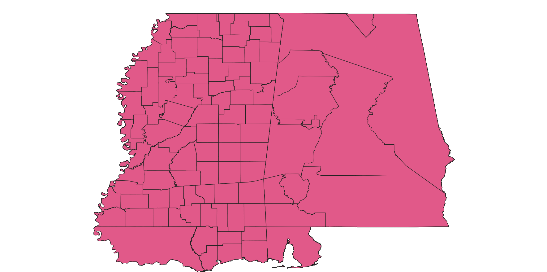
Historical County Boundary Map Dataset of Mississippi State
The dataset consists of historical county boundary map data for Mississippi State. It serves as a valuable resource for individ...2025-10-28 02:53:10 UTC![Missouri Historical County Boundaries Map Dataset]()
Missouri Historical County Boundaries Map Dataset
The dataset is the Missouri Historical County Boundaries Map Dataset, serving as a resource for individuals seeking documentati...2025-10-28 02:51:35 UTCAdministrative divisions of Mongolia
This dataset includes polygon shapefiles of Mongolia's administrative divisions. Purpose: To facilitate easy access to Mongolia...2025-10-28 02:49:38 UTC![Dataset of historical county boundary maps of North Carolina]()
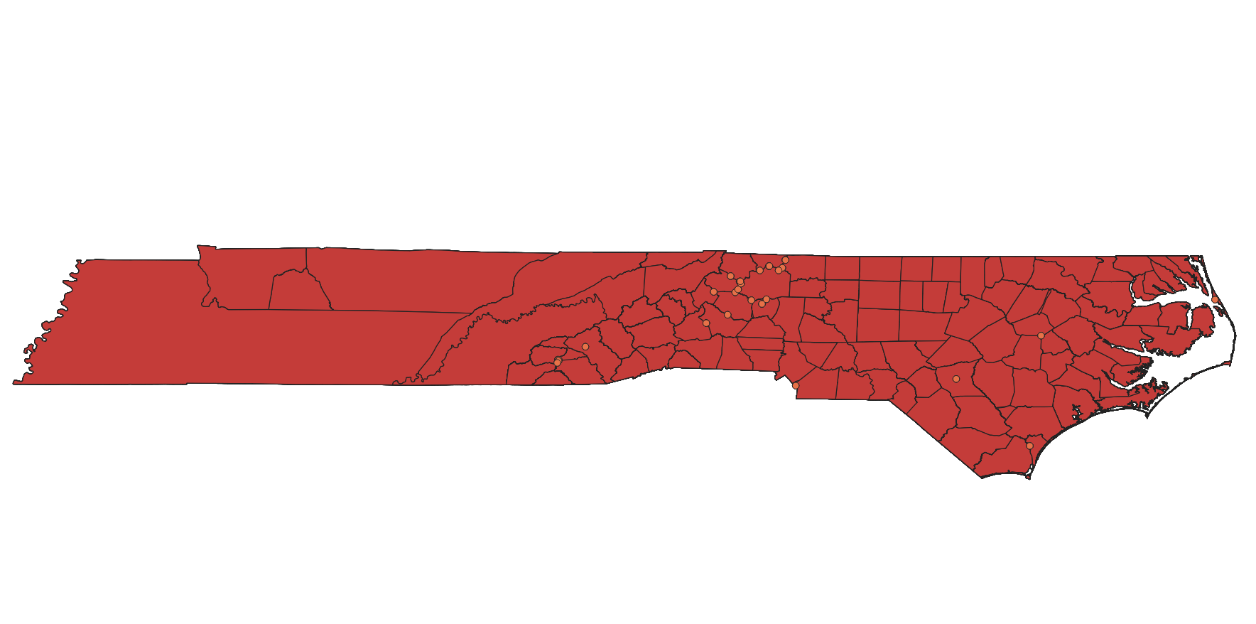
Dataset of historical county boundary maps of North Carolina
The dataset, which comprises historical county boundary map data of North Carolina, serves as a resource for individuals seekin...2025-10-28 02:46:50 UTC![Dataset of Historical County Boundary Maps for Vermont]()
Dataset of Historical County Boundary Maps for Vermont
The dataset comprises historical county boundary map data for Vermont, serving as a valuable resource for individuals seeking r...2025-10-28 02:44:41 UTC![The dataset of historical county boundary maps of Minnesota.]()
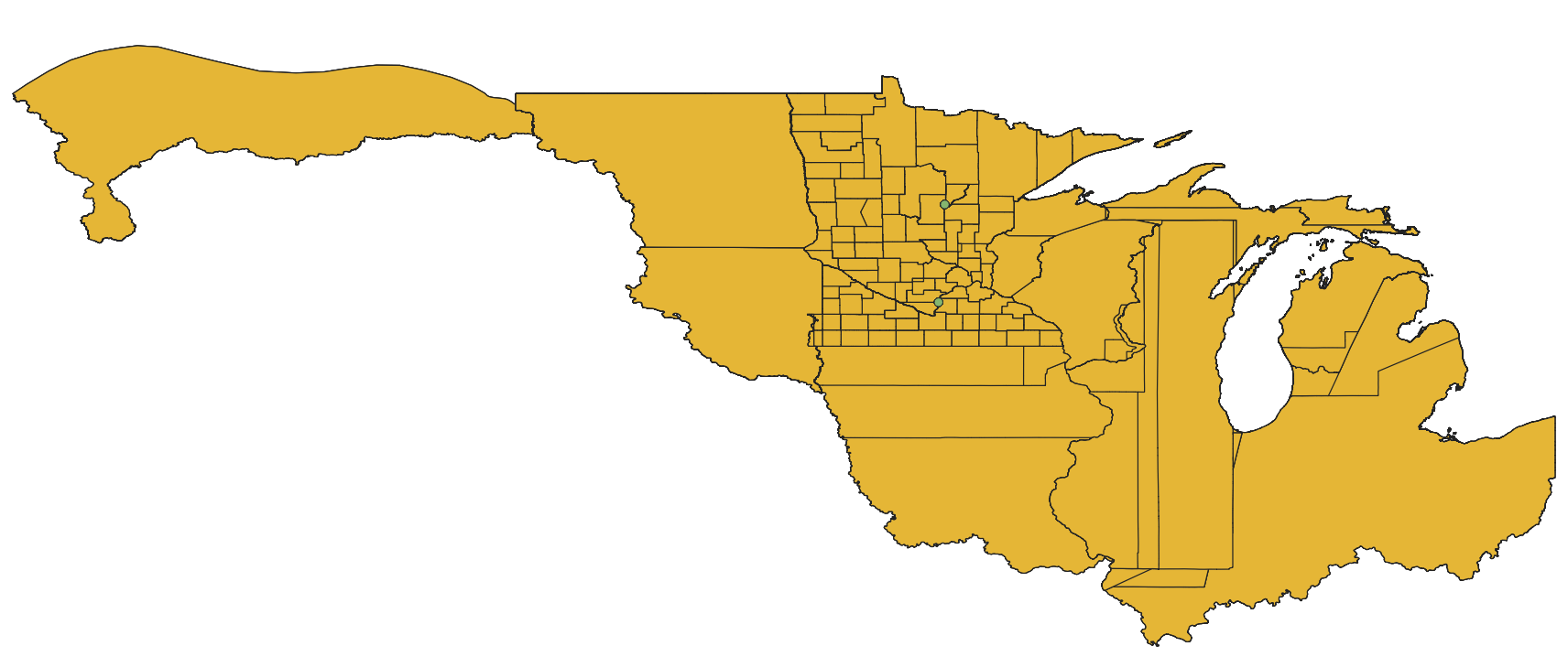
The dataset of historical county boundary maps of Minnesota.
The dataset, namely the Historical County Boundary Maps Data of Minnesota, serves as a resource for individuals seeking records...2025-10-28 02:36:54 UTC![Pennsylvania Historical County Boundaries Map Dataset]()
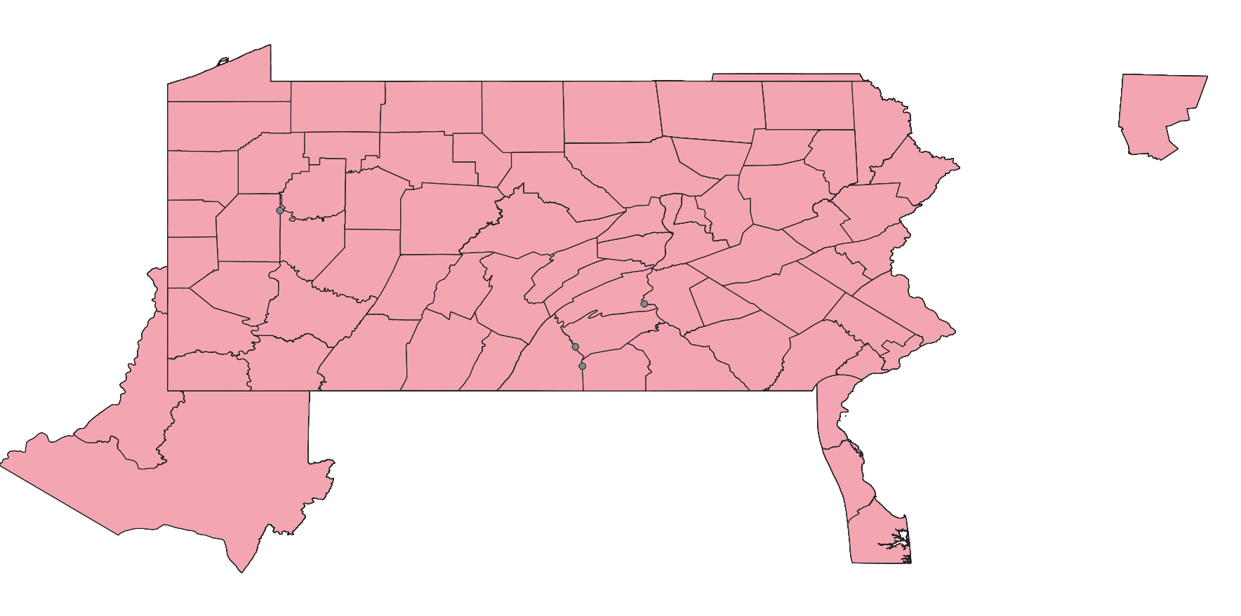
Pennsylvania Historical County Boundaries Map Dataset
The dataset comprises historical county boundary maps of Pennsylvania and serves as a valuable resource for individuals seeking...2025-10-28 02:32:58 UTC![Maryland Historical County Boundary Map Dataset]()
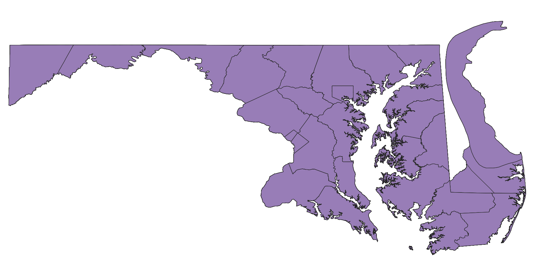
Maryland Historical County Boundary Map Dataset
The dataset, known as the Maryland Historical County Boundary Map Data, serves as a resource for individuals seeking records of...2025-10-28 02:32:20 UTC![Montana Historical County Boundary Map Dataset]()
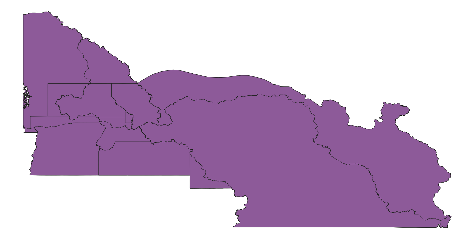
Montana Historical County Boundary Map Dataset
The dataset, known as the Montana Historical County Boundary Map Data, serves as a valuable resource for individuals seeking re...2025-10-28 02:31:38 UTCNational Vector GIS Data at a Scale of 1:4,000,000
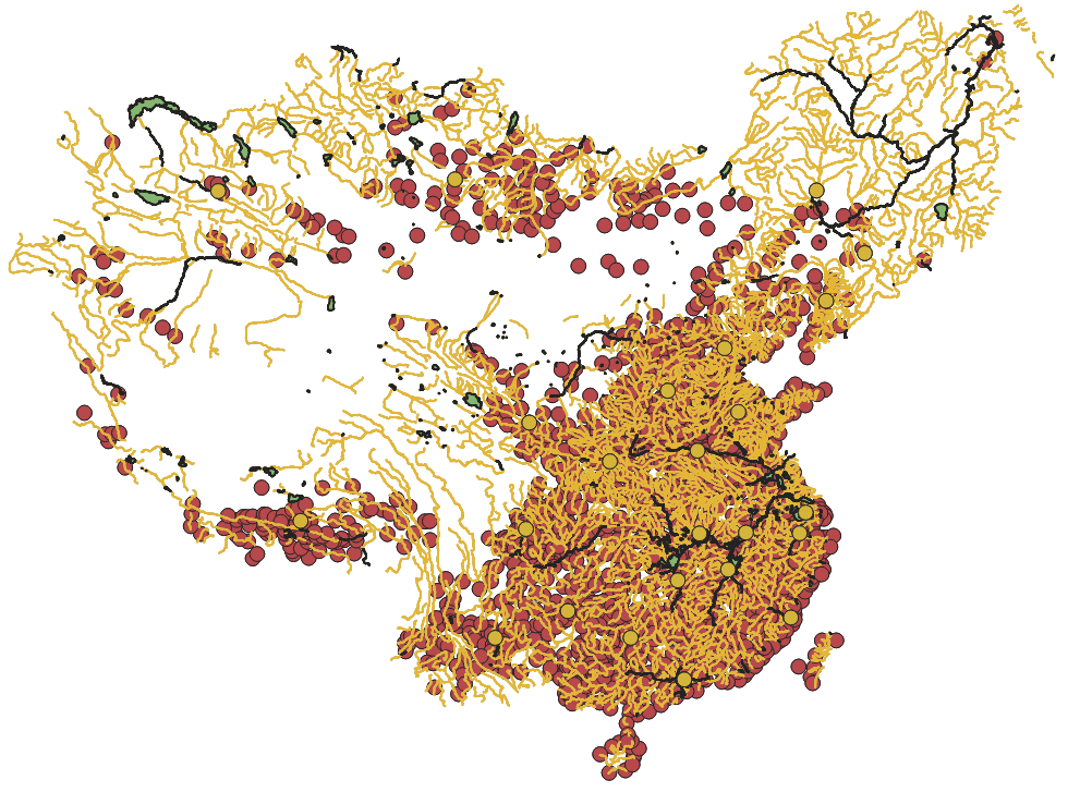
Comprehensive National Vector Map Database, including river, road, lake, provincial boundary, and other geographic data. All in...2025-10-28 02:21:06 UTC![Historical Boundary Dataset of China]()
Historical Boundary Dataset of China
The dataset comprises historical boundary data of China. The China Historical Geographic Information System (CHGIS) provides re...2025-09-24 08:37:00 UTC