最近几年来,地理信息系统无论是在理论上还是应用上都处在一个飞速发展的阶段。 GIS被应用于多个领域的建模和决策支持,如城市管理、区划、环境整治等等,地理信息成为信息时代重要的组成部分之一; “数字地球”概念的提出,更进一步推动了作为其技术支撑的GIS的发展。 与此同时,一些学者致力于相关的理论研究,如空间感知、空间数据误差、空间关系的形式化等等。 这恰好说明了地理信息系统作为应用技术和学科的两个方面,并且这两个方面构成了相互促进的发展过程。
The syntax format of Markdown image is as follows:
  Start with an exclamation point!
Followed by a square bracket with alternative text for the picture
This is followed by a normal parenthesis with the URL of the image, and finally you can enclose it in quotation marks and add the optional ‘title’ attribute’ text.
Examples of use:
  The display results are as follows:
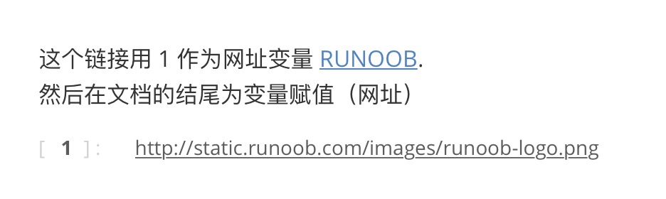
Of course, you can also use variables for image URLs like URLs:
这个链接用 1 作为网址变量 [RUNOOB][1]. 然后在文档的结尾为变量赋值(网址) [1]: http://static.runoob.com/images/runoob-logo.png The display results are as follows:
Markdown has no way to specify the height and width of the image, you can use the normal < img > tag if you want.
<img src="http://static.runoob.com/images/runoob-logo.png" width="50%"> The display results are as follows: