![The Historical Maps of the Spring and Autumn Period in China]()
The Historical Maps of the Spring and Autumn Period in China
Map Description The Spring and Autumn Period (770 BCE – 476 BCE) was a historical phase of the Eastern Zhou Dynasty, characteri...2017-10-22 04:35:00 UTC![The Historical Map of the Xia Dynasty in China]()
The Historical Map of the Xia Dynasty in China
Map Introduction Xia Dynasty (c. 2033? – 1562? BCE) was the first dynasty in Chinese history. Over four thousand years ago, Yu,...2016-11-01 12:53:00 UTC![The historical map of the late ruins of the primitive society of the Yellow River Basin in China (the Neolithic Age)]()
The historical map of the late ruins of the primitive society of the Yellow River Basin in China (the Neolithic Age)
Map Introduction Yellow River Basin The Yellow River, known as the "Great River" in ancient China, originates from the Bayan Ha...2016-10-24 11:29:00 UTC![The Historical Maps of Chu and Yue Kingdom in the Warring States Period of China]()
The Historical Maps of Chu and Yue Kingdom in the Warring States Period of China
Map Introduction State of Chu (? – 223 BCE) was a vassal state located in the Yangtze River basin during the pre-Qin period. It...2016-10-24 11:29:00 UTC![The Historical Map of Qin State and Shu Kingdom in the Warring States Period of China]()
The Historical Map of Qin State and Shu Kingdom in the Warring States Period of China
Map Introduction State of Qin (770 BCE – 207 BCE) was a vassal state established by the Huaxia people in northwestern China dur...2016-10-24 11:29:00 UTC![The Historical Map of China 's Shang Dynasty]()
The Historical Map of China 's Shang Dynasty
Map Introduction Shang Dynasty (c. 17th century – 11th century BCE) was the second dynasty in Chinese history. Along with the X...2016-10-24 11:29:00 UTC![The Historical Maps of Qi State, Lu State and Song State During the Warring States Period in China]()
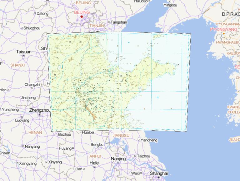
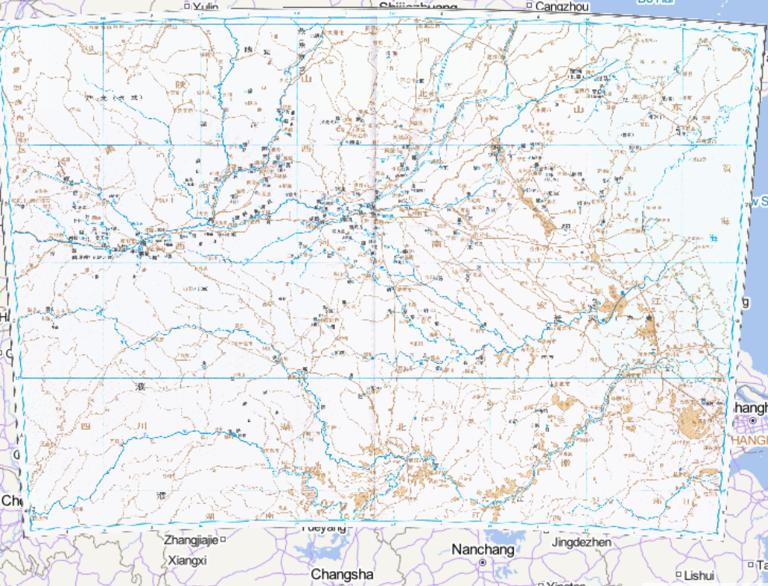
The Historical Maps of Qi State, Lu State and Song State During the Warring States Period in China
Map Introduction State of Qi (1044 BCE – 221 BCE) was a vassal state during the Zhou Dynasty, existing from the Western Zhou th...2016-10-24 11:29:00 UTC![History map of Zheng, Song, Wei country in China in spring and autumn period]()
History map of Zheng, Song, Wei country in China in spring and autumn period
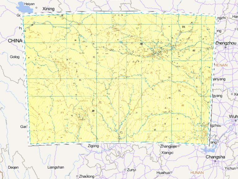
Map Introduction State of Zheng (806 BCE – 375 BCE) was a Ji-surname vassal state of the Zhou Dynasty, founded by a younger son...2016-10-24 11:29:00 UTC![The Historical Maps of Qi State and Lu State in the Spring and Autumn Period of China]()
The Historical Maps of Qi State and Lu State in the Spring and Autumn Period of China
Map Introduction State of Qi (1044 BCE – 221 BCE) was a vassal state of the Zhou Dynasty, existing from the Western Zhou throug...2016-10-24 11:29:00 UTC![The city center area Chinese historical map of the Shang Dynasty]()
The city center area Chinese historical map of the Shang Dynasty
Map Introduction From Tang of Shang to Pan Geng Period After Tang of Shang overthrew the Xia Dynasty, the capital was establish...2016-10-24 11:29:00 UTC![The Historical Map of Northern Yan State in the Spring and Autumn Period of China]()
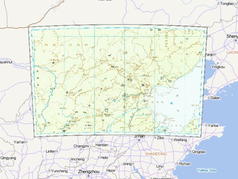
The Historical Map of Northern Yan State in the Spring and Autumn Period of China
Map Introduction State of Northern Yan: A fiefdom of the Ji-surname descendants of the Duke of Shao. Its territory was located ...2016-10-24 11:29:00 UTC![The Historical Map of Yan State in the Warring States Period of China]()
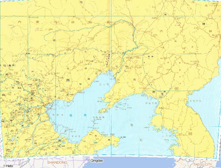
The Historical Map of Yan State in the Warring States Period of China
Map Introduction State of Yan (1044 BCE – 222 BCE) was one of the vassal states of the Zhou royal clan during the Zhou Dynasty....2016-10-24 11:29:00 UTC![The Historical Map of the Central Region of the Western Zhou Period in China]()
The Historical Map of the Central Region of the Western Zhou Period in China
Map Introduction The central region of the Western Zhou Dynasty (1046 BCE – 771 BCE) transitioned from Haojing to Luoyi, reflec...2016-10-24 11:29:00 UTC![Historical map of Zhao state and Zhongshan state during the Warring States period in China]()
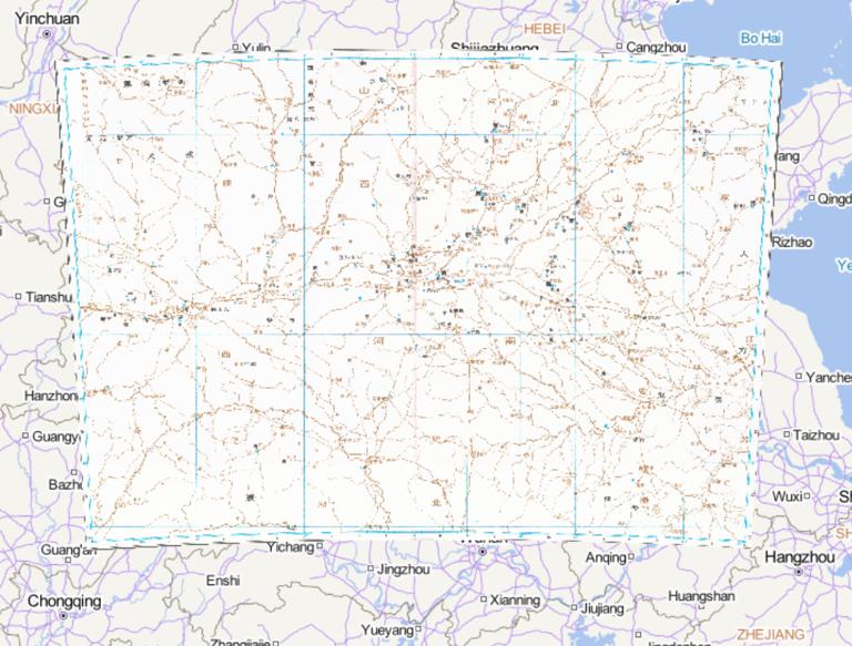
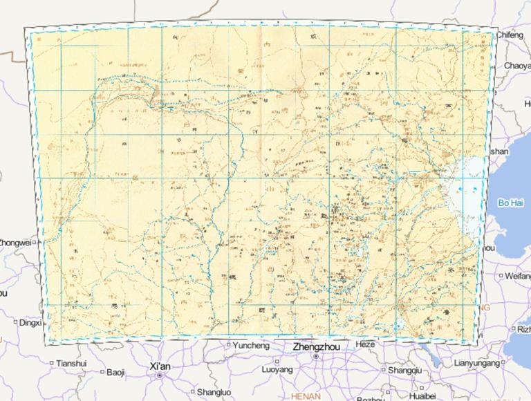
Historical map of Zhao state and Zhongshan state during the Warring States period in China
Map Introduction State of Zhao (403 BCE – 222 BCE) was a major state during the Spring and Autumn and Warring States periods, a...2016-10-24 11:29:00 UTC![A Historical Map of the Early Site of Chinese Primitive Society (Paleolithic Age)]()
A Historical Map of the Early Site of Chinese Primitive Society (Paleolithic Age)
Map Introduction Primitive Society (c. 1.7 million BCE – 21st century BCE) represents the first form of community established b...2016-10-24 11:29:00 UTC![The Historical Map of China 's ruins of primitive society]()
The Historical Map of China 's ruins of primitive society
Map Introduction Primitive Society (c. 1.7 million BCE – 21st century BCE) represents the first form of community established b...2016-10-24 11:29:00 UTC
- Pre-Qin Historical Maps 22
- Qin and Han Dynasties Historical Maps 36
- Three Kingdoms, Two Jins, Southern and Northern Dynasties 66
- Sui, Tang, and Five Dynasties Period 54
- Song, Liao, Western Xia, and Jin Period 46
- Yuan Dynasty Historical Maps 21
- Ming Dynasty Historical Maps 29
- Qing Dynasty Historical Maps 27
- Modern Maps