
logo

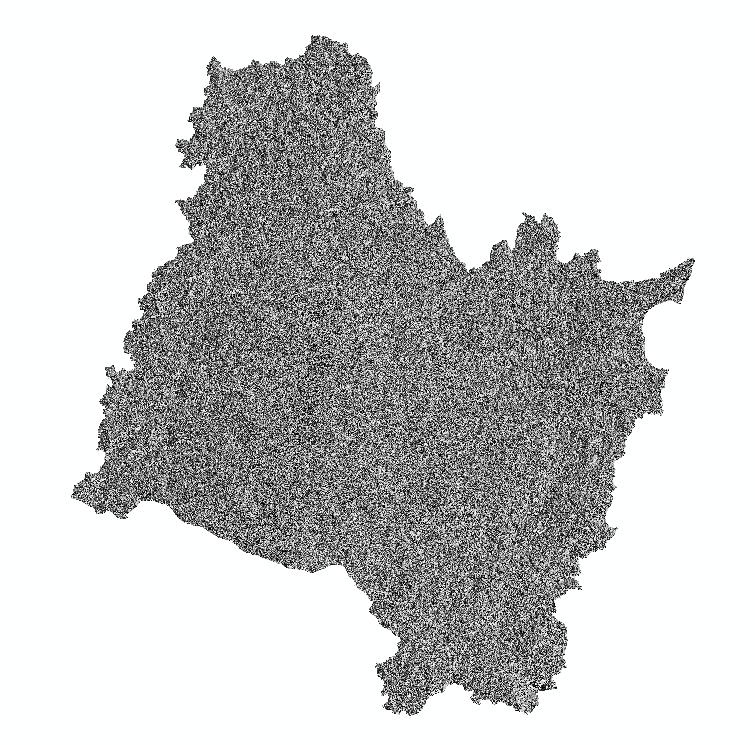
Surface slope aspect of the Songhua River Basin

Surface slope aspect of the Songhua River Basin

发布时间:2025年9月24日 16:37

类别:

Page Views: 9 views

This dataset consists of raster data representing the surface slope aspect of the Songhua River Basin. It was generated based on surface elevation data from 2010. Using ArcGIS software, various image processing techniques were applied, including data mosaicking, projection transformation, and boundary clipping. Subsequently, the slope aspect calculation tool was utilized to compute the surface slope aspect raster data for the Songhua River Basin.
type
栅格
title
松花江流域地表坡向
format
tif
anytext
空间分辨率:30m*30m 时间分辨率:2010 投影方式:Albers等面积投影 数据量:5.01GB
creator
焉恒琦、孙立波
abstract
本数据集为松花江流域地表坡向栅格数据。基于2010年地表高程数据,使用arcgis软件经过数据拼接、投影转换、边界裁剪等影像处理,使用坡向计算工具,计算得到的松花江流域地表坡向栅格数据。
keywords
松花江流域,坡向,高程
language
中文
field_name
value
identifier
wa245
organization
中国科学院东北地理与农业生态研究所
topicategory
地理学、大地测量学
date_creation
2018-06-08 00:00:00
distancevalue
松花江流域
date_publication
2018-06-08 00:00:00
otherconstraints
高程数据来自:地理空间数据云网站
accessconstraints
专项内共享
responsiblepartyrole
中国科学院东北地理与农业生态研究所 邮件:1570061018@qq.com 电话:0431-85542262
主题类别
Earth Sciences
语言
zh CN
类型
Raster Data
格式
.tif