Dataset of historical county boundary maps of North Carolina
发布时间 :2025-10-28 02:46:50 UTC
类别 : Basic Geography
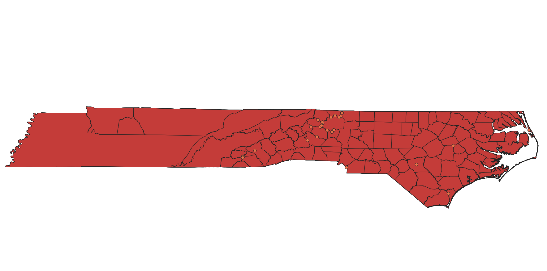
The dataset, which comprises historical county boundary map data of North Carolina, serves as a resource for individuals seeking records of past events. It caters to those who aim to analyze, interpret, and visualize historical county-based data (such as election and census results), as well as individuals engaged in state and local historical projects. These potential users have diverse interests ranging from history, demographics, economics, genealogy, geography, law, to politics.