Historical County Boundaries Map Dataset of Oklahoma
发布时间 :2025-10-29 06:04:17 UTC
类别 : Basic Geography
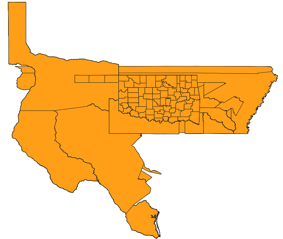
The dataset comprises historical county boundary map data of Oklahoma, serving as a resource for individuals and researchers seeking to document past events. It supports efforts to analyze, interpret, and visualize county-based historical data—including election results and census records—as well as those engaged in state and local historical projects. Potential users span diverse interests ranging from history to demography, economics, genealogy, geography, law, and politics.